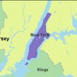
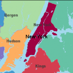
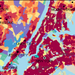
Looking for historical U.S. Census maps? Try Social Explorer – a database product that helps to visually analyze and understand the demographics of the United States through the use of interactive maps and data reports. Explore thousands of historical data maps, from the first US Census in 1790 to the present.
 |
 |
 |