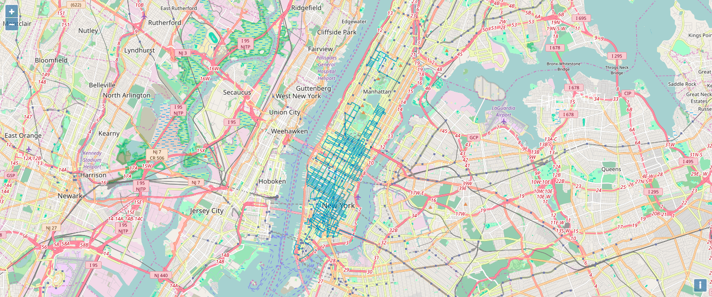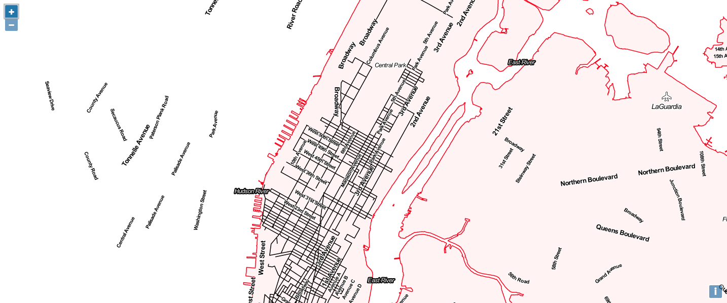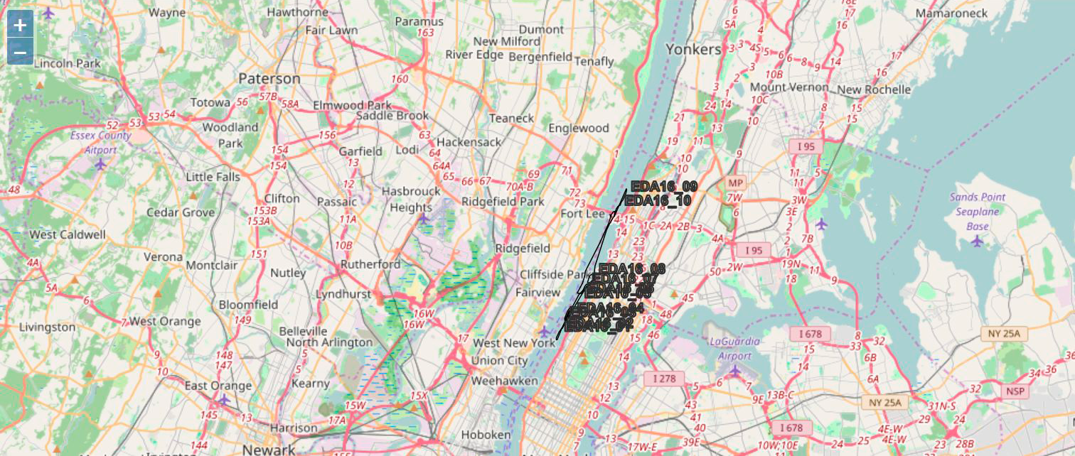
The latest session of Map Club focused on OpenLayers, a high-performance library for rendering geographic information in the browser. OpenLayers enables users to visualize a diverse range of geospatial data formats, while offering intuitive links to external web-based mapping resources such as CARTO, OpenStreetMap, Stamen, and D3.js.
Participants explored OpenLayers functionality for importing KML and GeoJSON data, experimented with linking to different tile sets, and tried out the customizable interactive capabilities of the library in JavaScript.


From top: imported KML data, Stamen toner labels tile set, Frank Nitsche
Next week will be the second guided workshop of the semester. We will be digging into QGIS, a free and open source geographic information system that offers powerful tools for data editing, viewing, and analysis. Hope to see you there!
Sign up here if you would like to receive updates on future Map Club sessions. For this session’s resources and materials, visit the Map Club Github repository.