
Last Friday, Map Club embarked upon its second workshop of the semester. This time, we focused on QGIS, a free and open source geographic information system that offers powerful tools for data editing, viewing, and analysis. Participants learned how to import shapefiles into the interface, explore data using the attribute table, and visualize land use in Manhattan with public building footprint data.
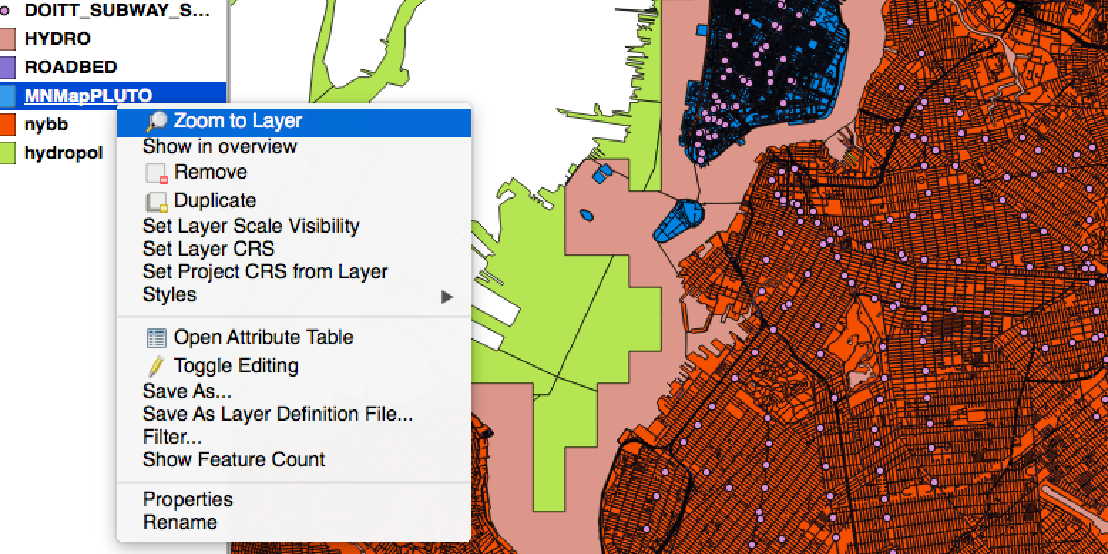
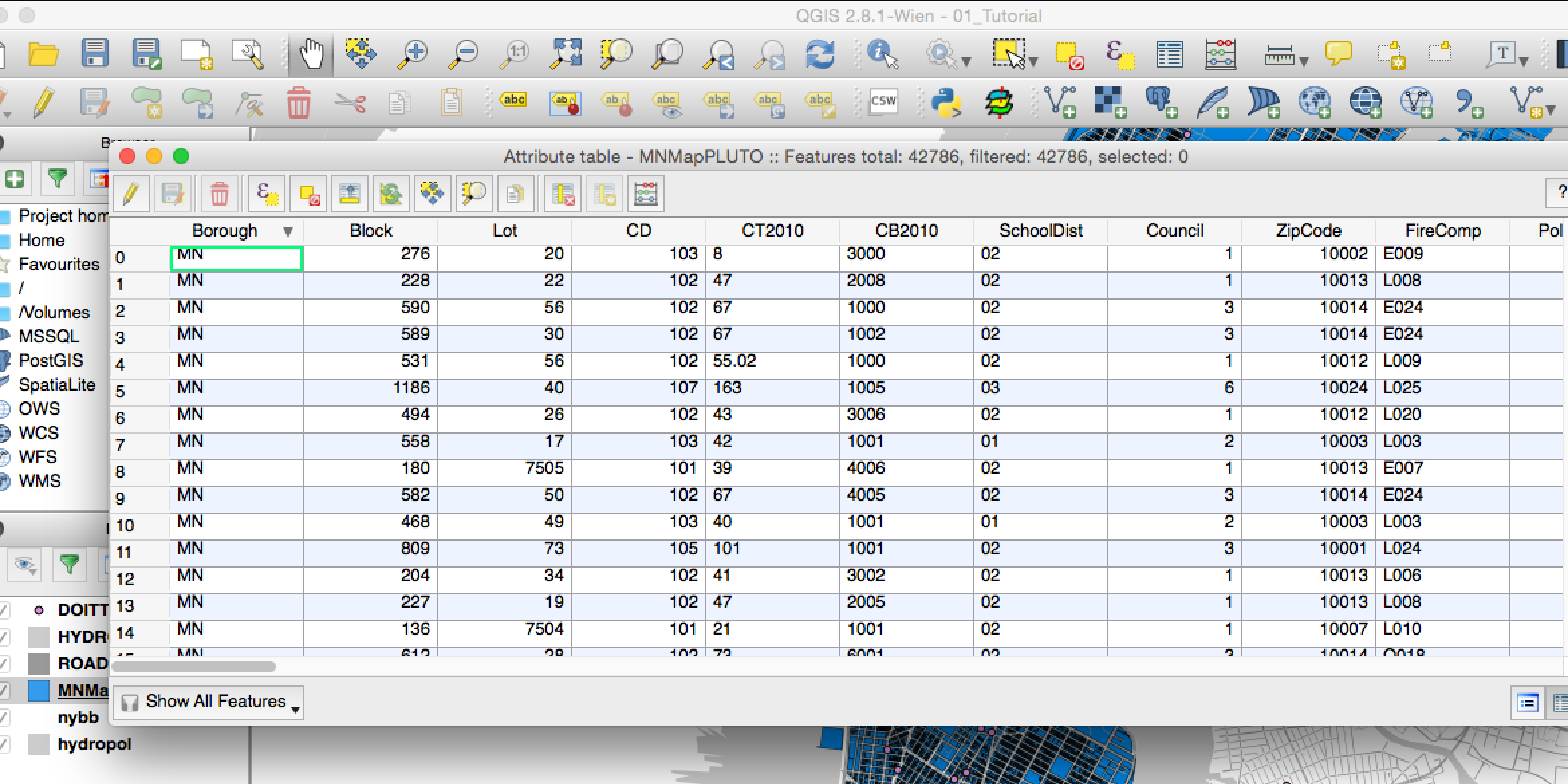
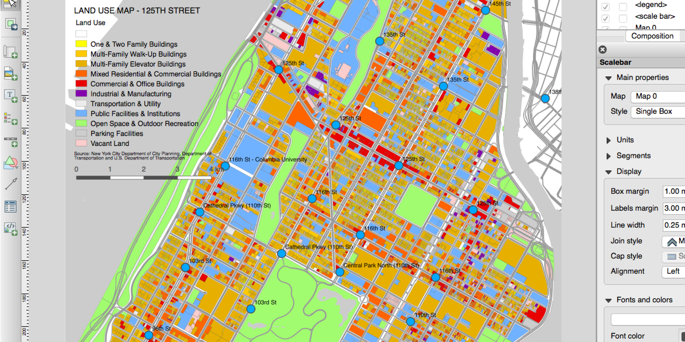
From top: zoom to layer, attribute layer, land use map, Daniel Chi Cook
This coming Friday will be a free-form hack session on CartoGrid, a grid-based cartogram generator. Hope to see you there!
Sign up here if you would like to receive updates on future Map Club sessions. For this session’s resources and materials, visit the Map Club Github repository.