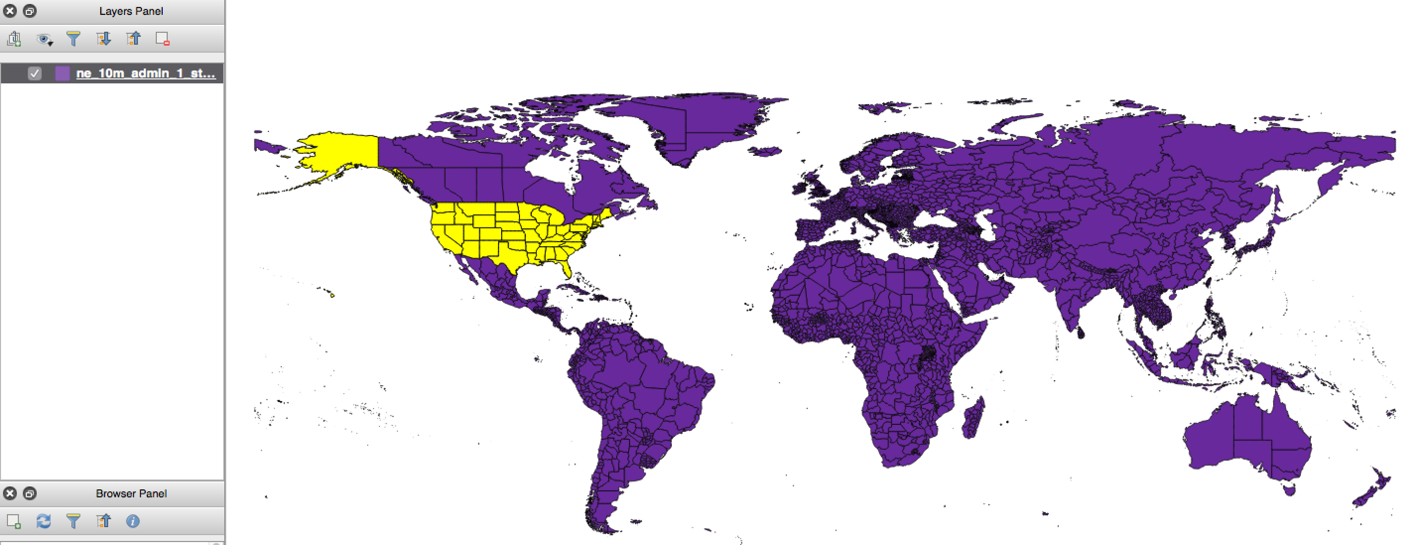
By popular demand, Map Club dove into a structured exploration of QGIS this week. QGIS is a free and open source geographic information system that offers powerful tools for data editing, viewing, and analysis. In contrast to previous sessions, this session focused on a few key areas: importing and exporting different file types, re-projecting raw data, and geocoding a list of locations using the MMQGIS plugin.
Attendees worked on completing an introductory projection tutorial, as well as using MMQGIS to extrapolate lat/lon coordinates from a list of place names.

In other exciting news: Map Club now has official swag! Swing by one of the two upcoming summer sessions to pick up your own marker, terrain, or logo button.

Next week, we’ll explore Mapzen, an open, sustainable, and accessible mapping platform.
For this session’s resources and materials, visit the Map Club Github repository.