
Map Club commenced its first meeting of Fall 2016 by experimenting with Cartagen, a vector-based framework for rendering maps in HTML5. Cartagen was originally developed by a research team at the MIT Center for Civic Media.
One goal of Map Club is to explore the less populous corners of GIS, legacy projects included. Though Cartagen has stood the test of time, its documentation has not. Tracking down its functional source code thus proved to be a challenging endeavor. Luckily, attendees were up to the job (thanks, Mikey!), and after clearing the gridded debugging screen, were able to produce some interesting visual results:
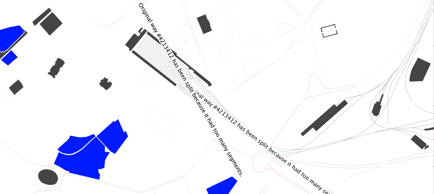
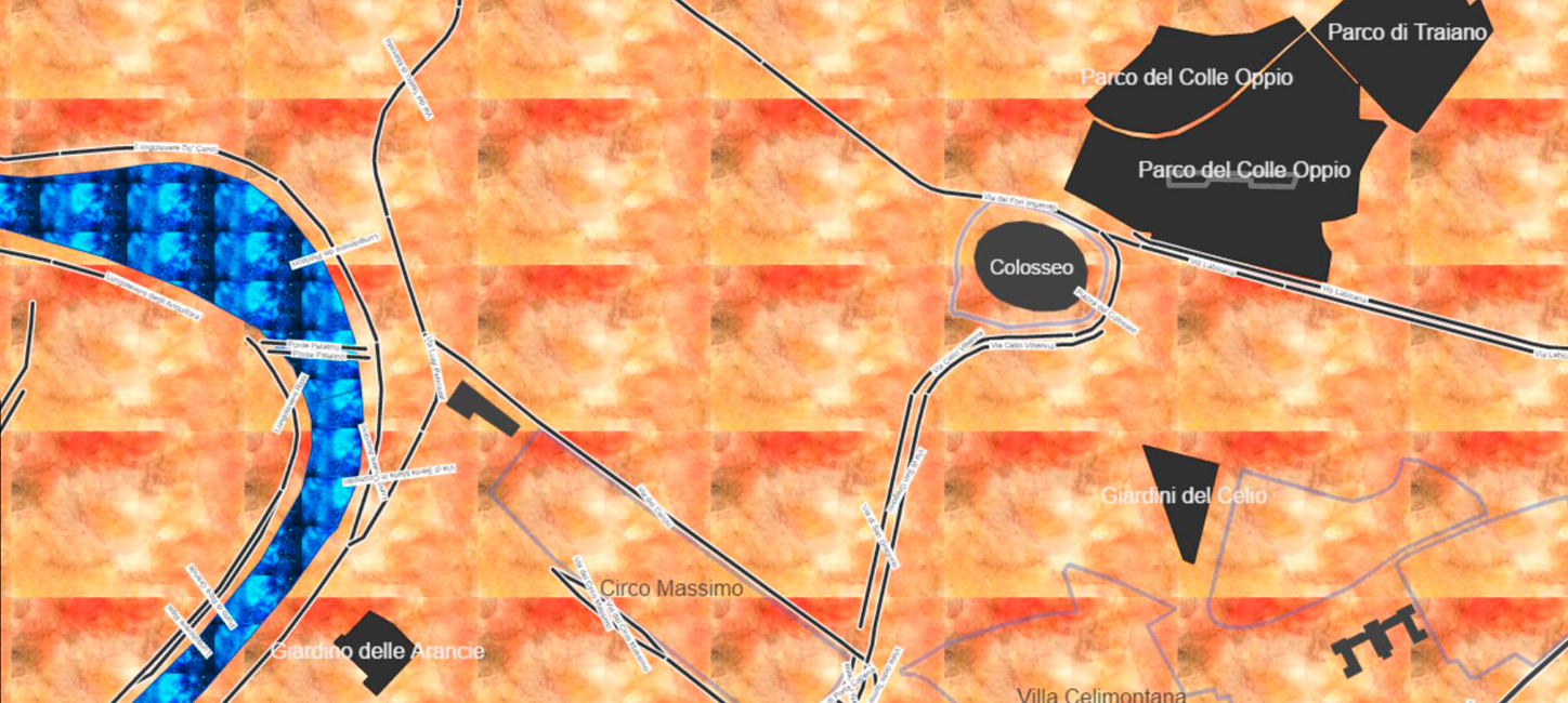
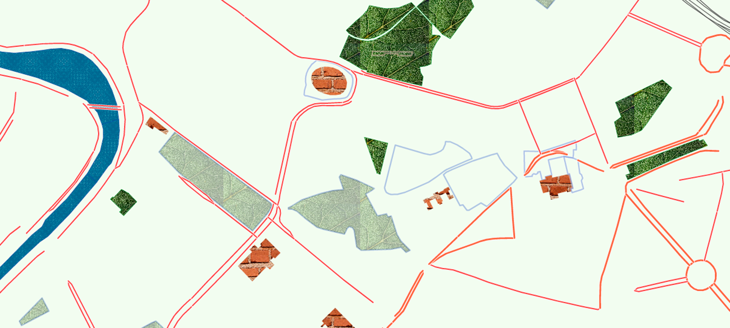
From top: Debugger grid, Emily, Rachael, Shaky
Next week we will focus on the much more recently-created geojson.io, a simple, open-source editor for map data.
For this session’s resources and materials, visit the Map Club Github repository.