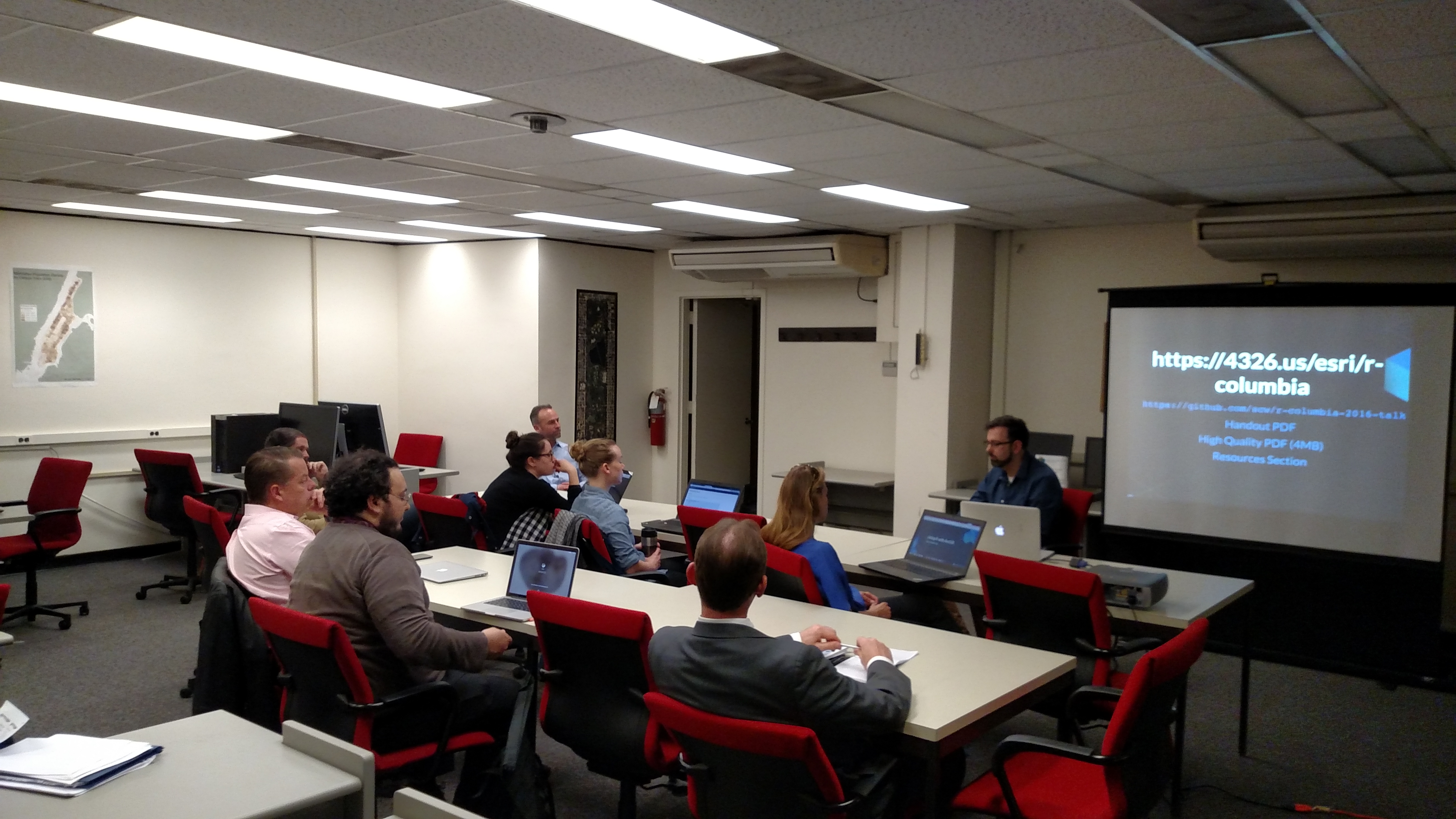
With a successful collaboration between DSSC and ESRI, a hands-on workshop on ESRI R plugin was presented by Shaun Walbridge, a senior developer from ESRI, on Wednesday, April 20. Shaun provided an in-depth tutorial on how to use R in ESRI, and answered questions from students and librarians.
Our audiences were from a broad background: librarians from Columbia and other institutions in NYC, PhD students, Master’s students, people from administrations, etc.
Presentation Highlights:
SP data types in R
- 0D: SpatialPoints
- 1D: SpatialLines
- 2D: SpatialPolygons
- 3D: Solid
- 4D: Space-time

R — ArcGIS Bridge
- Store your data in ArcGIS, access it quickly in R, return R objects back to ArcGIS native data types (e.g. geodatabase feature classes).
- Knows how to convert spatial data to sp objects.
- Package Documentation
- Upcoming: Conda for managing R environments
For more information about this workshop, please visit http://github.com/scw/r-columbia-2016-talk
Thank you again for joining us!